
 English
 Español
 Deutsch
 日本語
日本語 Polska
 Français
 中國
中國 한국의
한국의 Українська
 Italiano
 Nederlands
 Türkçe
 Português
 Bahasa Indonesia
 Русский
 हिंदी
हिंदीIowa Topographic Map STL Model 3D Принт Модель


- Доступные форматы: Stereolithography: stl 567.00 MB
- Коллекция:No
- Ширина в миллиметрах:289
- Высота в миллиметрах:0.7
- Глубина в миллиметрах:186
- Для печати:
- 3D Скан:No
- Контент для взрослых:No
- PBR:No
- AI Обучение:No
- Просмотры:1596
- Дата: 2022-06-17
- ID Продукта:402302
- Рейтинг:
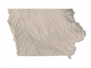
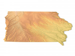
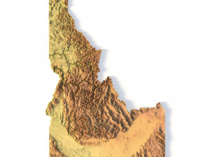
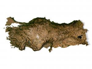
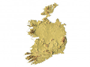
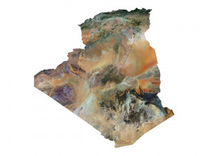
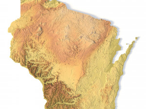
Create Detailed Iowa Terrain Models with This High-Resolution 3D STL
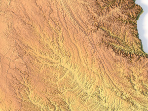
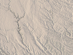
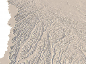
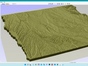
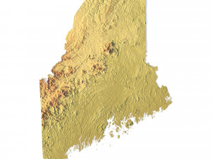
The Iowa Topographic Map STL model provides a high-resolution representation of the state’s topography and geographic features. This 3D model is ideal for creating physical relief maps from materials such as wood, metal, plastic, or concrete. Whether used for landform visualization, educational purposes, or professional GIS projects, this model offers precise elevation data for accurately representing Iowa’s diverse landscape. Compatible with 3D printers, CNC machines, and laser engravers.
- File size: 1.09 GB / 550 MB
- Model size: 289.32 mm x 186.42 mm x 0.731 mm
- Resolution: 0,06 mm
- Projection: Mercator
- Scaling factor: X — 1; Y — 1; Z — 4
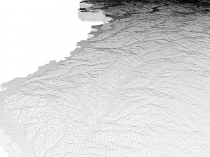
- Polygons: 23 468 644
- Vertices: 11 743 778
- Geometry: Polygonal Tris only
- Base: Open / Closed
Features of the Iowa Topographic STL Model
Detailed elevation data that reflects Iowa’s varied landforms.
Compatible with FDM/SLA 3D printers for creating physical terrain models.
Designed for CNC machining to craft wood or metal relief maps.
High-precision laser engraving capability for metal surfaces.
Если вам необходим другой формат, пожалуйста, сделайте запрос при помощи тикета поддержки. Мы можем cконвертировать 3D модели в такие форматы: .stl, .c4d, .obj, .fbx, .ma/.mb, .3ds, .3dm, .dxf/.dwg, .max. .blend, .skp, .glb. Мы не конвертируем 3d сцены и такие форматы, как .step, .iges, .stp, .sldprt и т. д.!


